Climate Intelligence for a More Resilient Tomorrow
From Data to Decisions
for a More Resilient World
Combine public and private data to quantify climate risk, understand impact, and prioritize mitigation — before disaster strikes.
Natural Hazards
Floods · Landslides · Cyclones
People & Assets
Population · Buildings · Infrastructure
Advanced Analytics
AI-driven risk & impact modeling
Actionable Insights
Prioritize · Plan · Build resilience
Smarter data.
Safer communities.
Stronger economies.
Safer communities.
Stronger economies.
Climate Intelligence Platform
Explore Risk & Impact
Illustrative analysis view
Explore Risk & Impact
Illustrative analysis view
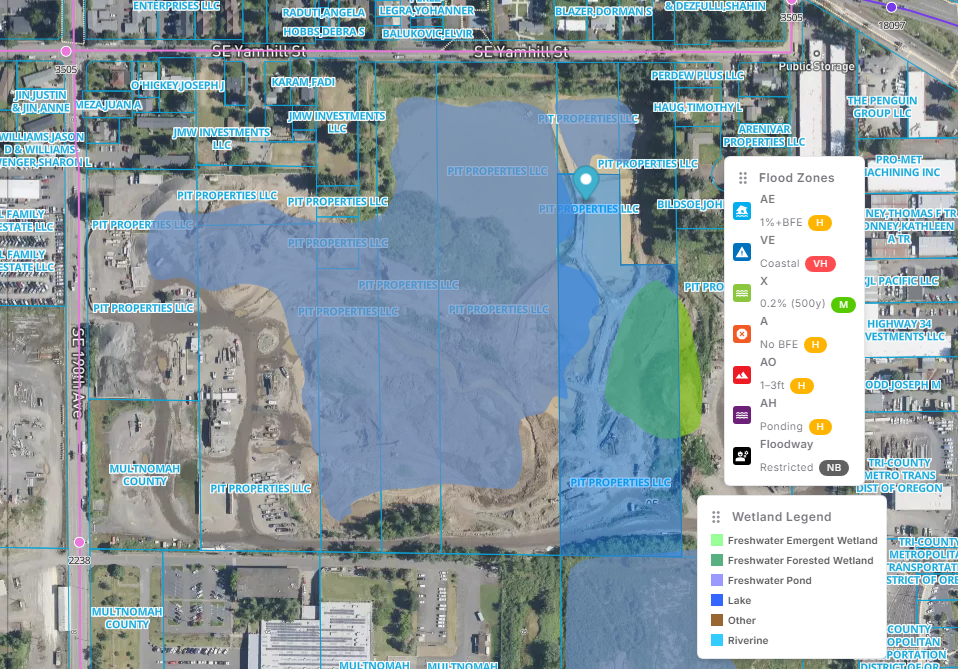
Selected Geography
Multnomah County, Oregon
!High climate risk
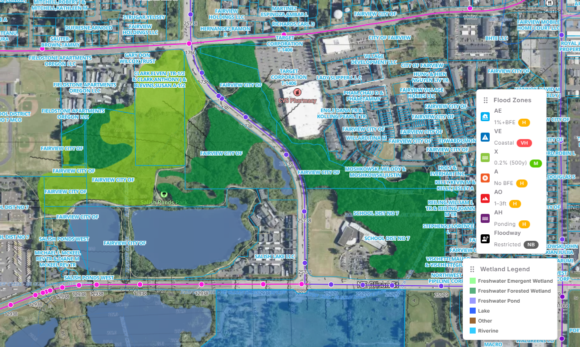
Multiple hazard, infrastructure and population layers intersect in this corridor.
Flood Inundation
> 3 m1–3 m0.5–1 m0.1–0.5 m
The MapZot.AI Advantage
A unified view for a more resilient world.
The value is not another map layer. The value comes from combining diverse public and private datasets, analyzing where they intersect, and translating those intersections into decisions.
Diverse Data. A Single Truth.
Hazard & Hydrology
Flood, rainfall, wetlands, rivers
Terrain & Land
Elevation, slope, runoff, land cover
Population & Settlements
People, households, schools, shelters
Public Infrastructure
Roads, bridges, hospitals, airports
Critical Infrastructure
Power, telecom, water, dams
Private & Commercial
Assets, values, mobility, operations
MapZot.AI
Intersection Engine
Real data.
Real impact.
Real action.
Real impact.
Real action.
Actionable Intelligence.
Risk
Where is the exposure?
Impact
What will be affected?
Dependencies
What fails together?
Mitigation
What are the options?
Investment Priority
Where should capital go first?
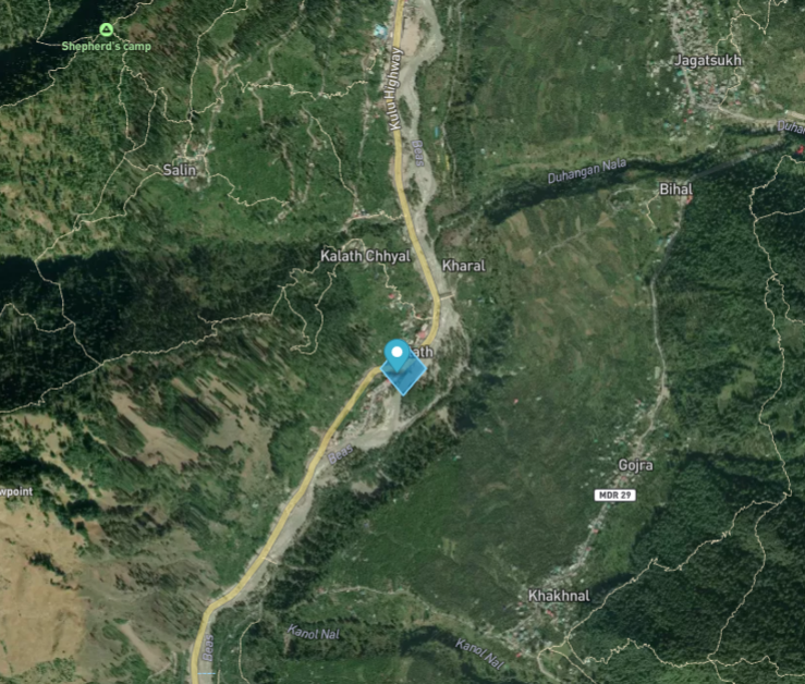
Understand Tomorrow's Impact
See what’s at risk
Population
People impacted
Assets
Residences & commercial
Roads / Bridges
Mobility disrupted
Critical Infra
Hospitals, power, telecom
Commercial
Economic activity
Public Services
Schools & civic assets
!
Road at Risk
Potential corridor closure → population and service disruption
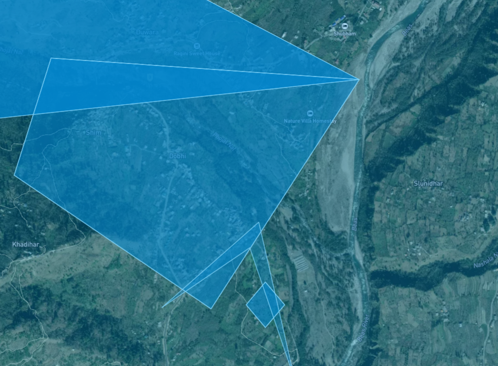
Find a Better Tomorrow
Plan. Prioritize. Mitigate.
Alternative Routes
Keep access moving
Evacuation Plans
Move people safely
Drainage Gaps
Close capacity deficits
Power Alternatives
Build redundancy
Telecom Resilience
Preserve connectivity
New Infra Hotspots
Invest where needed
✓
Safer Corridor
Alternate route + drainage + backup power → stronger continuity
Real-World Impact
From insight to action
2 relevant case studies in the selected market
India Focus
India needs an asset-level climate impact layer.
Public data exists across agencies. What is missing is one decision layer that turns fragmented inputs into quantified impact, dependency risk and mitigation priorities.
AssamBiharUttar PradeshWest BengalOdishaAndhra PradeshHimachal PradeshUttarakhand
23
Priority flood-prone states / UTs
40M
Hectares vulnerable to floods
8
Health facilities damaged 2024–25
44
Educational facilities damaged 2024–25
MapZot.AI