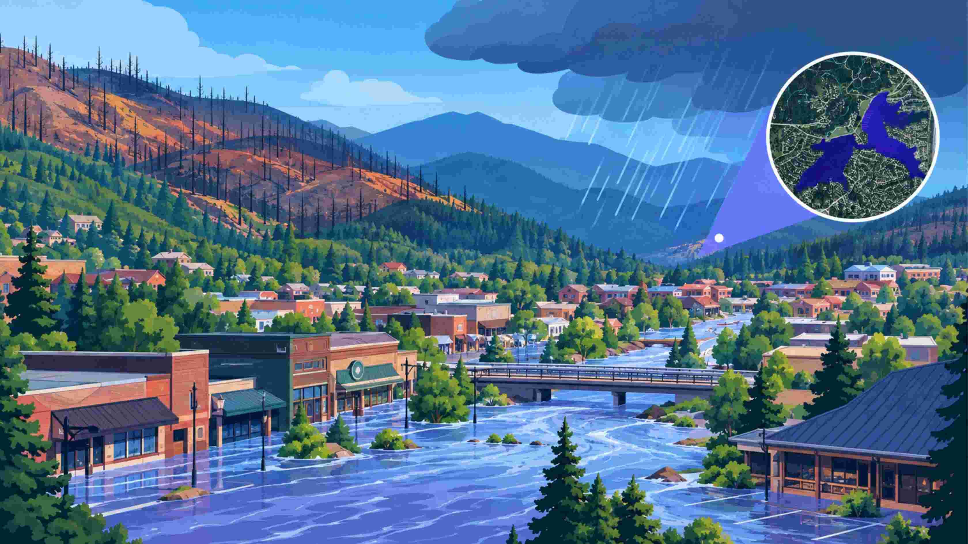
If you've been following the news out of Lincoln County, New Mexico, you already know the headline numbers: a $300 million racetrack season on hold, lodgers' tax revenue down nearly 30%, and a wholesale jewelry warehouse still recovering from being "engulfed" by floodwater. But the real story in Ruidoso isn't really about a single flood. It's about a risk category most business owners never think to evaluate, until it's too late.
This is what's known as post-wildfire flood risk, and it's becoming one of the fastest-growing threats to small businesses across the American West. Here's what happened in Ruidoso, why it matters far beyond New Mexico, and how businesses can actually see this risk coming.
What Happened in Ruidoso, New Mexico
In June 2024, two wildfires tore through the Sacramento Mountains surrounding Ruidoso, burning approximately 17,000 acres and destroying around 1,400 structures. The entire village was evacuated.
Wildfires like these don't just destroy what they touch directly — they permanently change how the surrounding land handles water. Burned soil loses its ability to absorb rainfall. Vegetation that once slowed runoff is gone. The result: monsoon rains that would normally soak into the ground instead rush straight into rivers and streams, often within minutes.
That's exactly what happened to Rio Ruidoso. On 17th Sep, the river surged more than 20 feet above normal levels — turning what should have been a manageable rainstorm into a flash flood emergency.
The Business Impact No One Budgeted For
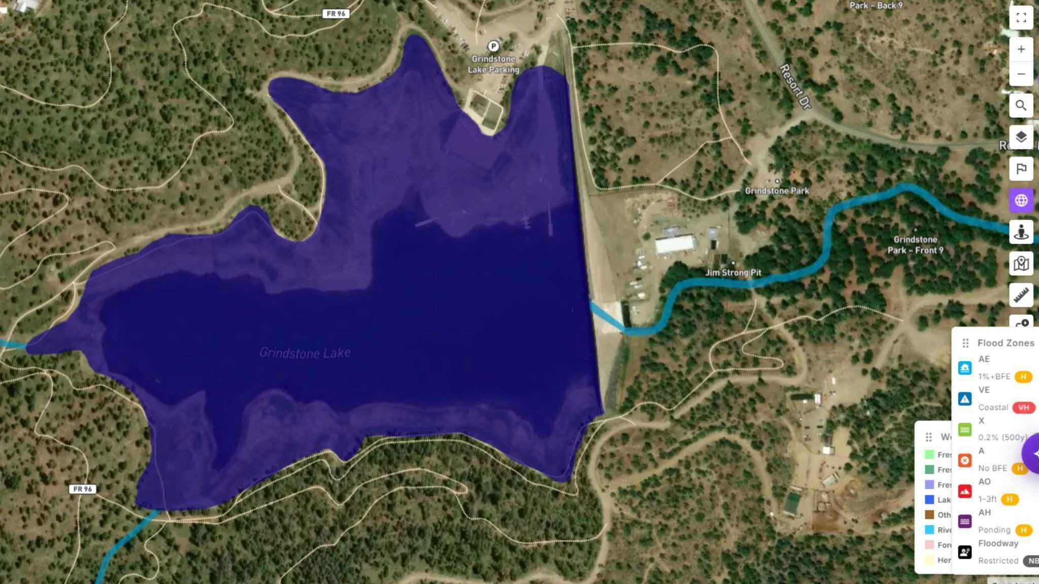
According to reporting, the flooding didn't just damage homes, it hit the commercial backbone of the town.
Arnold Duke, owner of the Ruidoso Trading Post, saw his wholesale jewelry warehouse engulfed by floodwater. He's reopened, but describes business as noticeably slower than before the disasters, even after what he called a "decent spring break."
The bigger blow came in 2026, when Ruidoso Downs Racetrack — the region's single largest economic driver announced it would remain closed for another season due to continued flood risk. The track has historically brought an estimated $300 million into the village over a three-month racing season, supporting everything from gas stations to restaurants to hotels.
The financial data tells the same story from a different angle:
Lodgers' tax revenue fell nearly 30% between FY2024 and FY2025
Taxable receipts for accommodation and food services dropped almost 19% over the same period
Early FY2026 figures show only a modest 3% rebound, with the critical summer tourism season still ahead
This is what makes post-wildfire flood risk so dangerous for businesses: it's not a single bad day. It's a multi-year economic drag that outlasts the disaster itself.
Why This Matters Beyond Ruidoso
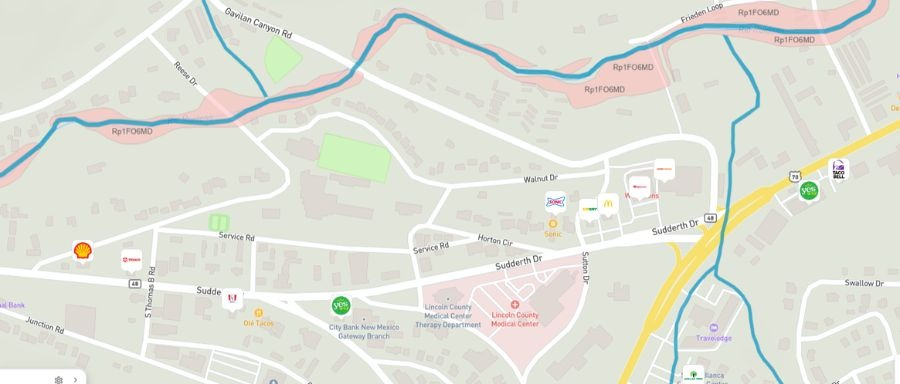
Ruidoso isn't an isolated case, it's a preview. As wildfire seasons grow longer and more intense across the Western U.S., the number of "burn scar" watersheds prone to flash flooding is growing right along with it. Areas that have never historically been considered flood-prone can become high-risk almost overnight once wildfire strips the landscape's natural water absorption.
For business owners, this creates a blind spot that traditional site-selection research simply doesn't cover. Standard due diligence, rent, foot traffic, visibility, local competition, says nothing about:
Whether a property sits near a watershed with recent wildfire activity
How a burn scar changes flood modeling for the next 3–5 years, not just the current season
Whether nearby anchor businesses or seasonal events (like a racetrack, festival, or resort) are themselves at risk, and what that means for your foot traffic if they disappear
How quickly an area's tax base and consumer spending recover after a flood event, based on real historical data
The Questions Every Business Owner Should Be Asking Before Signing a Lease
Whether you're opening a restaurant, a gym, a retail store, or a warehouse, these are the questions that actually predict resilience, not just rent and location convenience:
Is this property inside a mapped flood zone (AE, VE, X, or higher-risk designations), and how has that zone behaved historically?
Is the surrounding watershed at elevated risk due to recent wildfire activity? Burn scars can elevate flood risk for years after a fire, not just the immediate aftermath.
How close is the property to a river corridor or wetland, and what's the elevation difference relative to known high-water marks?
If the main access road floods, is there a viable alternate route for customers, staff, and suppliers to reach the business?
How exposed is my revenue to a single anchor attraction or seasonal driver, and what's my Plan B if that driver disappears for a season or longer?
Most of these questions can't be answered by driving past a property or checking a rent comp. They require actual geospatial and hydrological data, the kind that's historically been available mostly to insurers, municipalities, and large developers.
How MapZot.AI Closes This Gap
This is exactly the blind spot MapZot.AI's flood, wetland, and critical-asset intelligence platform is built to solve, before a lease is signed, not after a disaster forces the question.
With MapZot.AI, business owners, site selectors, and commercial real estate teams can:
Visualize modeled flood extent and inundation zones for any address, based on hydrology and terrain data
Assess proximity to rivers, wetlands, and burn-scar watersheds that elevate flood risk
Identify road and access-corridor vulnerability, so you know if your location becomes unreachable during a flood event
Score asset exposure for a specific property or portfolio, prioritizing where mitigation actually matters
Model event chronology and recovery patterns, using real flood event data rather than guesswork
In a town like Ruidoso, this kind of intelligence wouldn't have prevented the wildfires or the floods. But it would have given business owners, insurers, and local planners a much clearer picture of what recovery would actually look like and how long it might take.
Resilience Starts With Visibility
The business owners of Ruidoso aren't giving up. Despite two consecutive years of fire and flood, many describe a community that's determined to rebuild, diversify its economy, and adapt to a new normal. That resilience is real, but it shouldn't have to be built entirely on hindsight.
As wildfire and flood risk increasingly compound one another across the Western United States, the businesses and communities that build risk visibility into their planning from day one will be the ones that recover fastest, and lose the least.
Know your risk before it becomes your loss. Explore flood, wetland, and asset intelligence at MapZot.AI.